There are three lakes within the MWMO watershed boundary: Loring Pond in the City of Minneapolis, and Sullivan and Highland Lakes in the City of Columbia Heights. The lakes are monitored by the Minneapolis Park and Recreation Board (MPRB) and the Anoka Conservation District (ACD), respectively, for lake level and water quality.
Loring Pond Monitoring
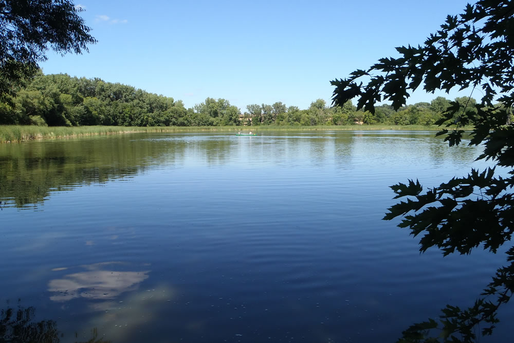
Loring Pond, located in Loring Park in Minneapolis, is part of the MWMO “4PP” pipeshed. The MWMO previously monitored Loring Pond for water quality and E. coli starting in 2006 until the Minneapolis Park and Recreation Board (MPRB) took over monitoring of the pond in 2007. MPRB monitors the lake level, water quality, ice cover, phytoplankton and zooplankton, and fish stocking of Loring Pond. Monitoring data for Loring Pond can be found in the Water Resources Reports on the MPRB website.
Sullivan Lake and Highland Lake Monitoring
Site Descriptions
Sullivan Lake
Sullivan Lake, also known as Sandy Lake, is located in south central Anoka County. The lake has a surface area of approximately 16.8 acres and a maximum depth of 9 feet (2.7 m). A walking trail circumscribes the lake with a mix of residential, commercial, and retail properties adjacent to the trail. The walking trail around the lake is used extensively, but due to lack of open water access, the lake is seldom used for swimming, fishing, or boating. Sullivan Lake’s watershed is highly urbanized, and the lake essentially serves as a flow-through stormwater pond. The lake is connected directly to the curb and gutter stormwater system which heavily influence its water quality. Water exiting Sullivan Lake is discharged to the Mississippi River via stormwater conveyances.
A staff gauge is located on the west side of the lake near the outflow. The gauge is surveyed each year by ACD and the Minnesota DNR using datum NGVD 29 in feet. Sullivan Lake’s water elevations fluctuate widely in response to rainfall, routinely bouncing by half a foot. The lake receives a large amount of stormwater relative to its size and its outlet releases in all but the lowest water conditions. The Ordinary High Water Level (OHWL), the elevation below which a DNR permit is needed to perform work, is 880.60 feet. The Minnesota DNR lake ID for Sullivan (Sandy) Lake is 02008000.
Sullivan Lake was monitored for water quality parameters from 1993 to 2005 by the Metropolitan Council. In 2013, the MWMO contracted the Anoka Conservation District (ACD) to conduct water elevation and water quality monitoring in order to gain an understanding of more current lake conditions. This water quality monitoring was conducted again in 2016 as part of a three-year cycle. During other years ACD conducts only water elevation monitoring.
Highland Lake
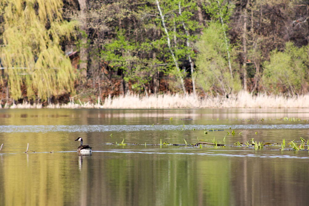
Highland Lake is a very shallow lake surrounded by a wooded park and residential neighborhood in south central Anoka County. The lake has a surface area of approximately 14 acres, with two small islands in the northeastern corner.
Similar to Sullivan Lake, Highland Lake’s watershed is highly developed, and the lake essentially serves as a flow-through stormwater pond. It is connected directly to the curb and gutter stormwater system. Water exiting this lake is discharged to the Mississippi River via stormwater conveyances. Highland Lake’s water level gauge is located on the north side of the lake, near the intersection of Argonne Drive and Innsbruck Parkway. Highland Lake water elevation tends to fluctuate very little. The OHWL for this lake is 996.4.
Highland Lake was monitored by the ACD for the first time in 2016. Prior to 2016, the lake had been monitored through the Metropolitan Council citizen volunteer program annually from 2000-2007. The DNR lake ID for Highland Lake is 02007900.
Lake Monitoring Results
2017 Lake Monitoring Results ACD (PDF, 2 pages, 0.3 MB)
2018 Lake Monitoring Results ACD (PDF, 5 pages, 0.6 MB)
2019 Lake Monitoring Results ACD (PDF, 11 pages, 3.3 MB)
2020 Lake Monitoring Results ACD (PDF, 5 pages, 0.9 MB)
2021 Lake Monitoring Results ACD (PDF, 6 pages, 0.7 MB)
2022 Lake Monitoring Results ACD (PDF, 13 pages, 1.7 MB)
2023 Lake Monitoring Results ACD (PDF, 16 pages, 5.9 MB)
2024 Lake Monitoring Results ACD (PDF, 4 pages, 0.6 MB)
For previous years’ data, see our Annual Monitoring Reports.
Methodology
Water Elevation Monitoring
A volunteer, in coordination with Anoka Conservation District (ACD), conducts water level monitoring at the lakes from June through November each year. Water elevation data is available on the Minnesota DNR website using the LakeFinder tool.
Sample Collection, Handling and Preservation
Every three years, the MWMO contracts ACD to conduct water quality sampling at Sullivan Lake and Highland Lake monthly between May and August. Sampling is conducted by canoe at the deepest part of the lake. A portable depth finder or global positioning system (GPS) is used to determine the sampling location. Conductivity, pH, turbidity, salinity, dissolved oxygen (D.O.) and temperature are measured using a multimeter sonde at a depth of three feet below the water surface. Water quality samples are also collected at three feet below the water surface. Water transparency or clarity is measured using a Secchi disk. ACD staff lower the disk over the shaded side of the boat until it disappears and then pull it up to the point where it reappears again. The midpoint between these two depths is recorded as the Secchi disk measurement. Minnesota Valley Testing Laboratories (MVTL) analyzes the water quality samples for chlorophyll-a, chloride and total phosphorus.
Data Analysis
To evaluate lake conditions, ACD compares sampling results to historical readings and other lakes in the region. Comparisons to other lakes are based on the Metropolitan Council’s lake quality grading system and the Carlson’s Trophic State Index for the North Central Hardwood Forest ecoregion (NCHF). Historical data can be obtained from the MPCA’s water quality database (EQuIS).
The Metropolitan Council developed the lake water quality report card in 1989. A lake receives a letter grade that is based on average summertime (May – September) chlorophyll-a, total phosphorus and Secchi depth. In the same way that a teacher would grade students on a “curve,” the lake grading system compares each lake only to other lakes in the region. The goal of this grading system is to provide a single, easily understandable description of lake water quality.
Carlson’s Trophic State Index (TSI) is a number used to describe a lake’s stage of eutrophication and is based upon a relationship between Secchi depth and surface water concentrations of algal chlorophyll and total phosphorus. The index values range from 0 (clear, nutrient-poor, oligotrophic lakes) to 100 (green, nutrient overloaded hypereutrophic lakes). Unlike the lake letter grading system, the Carlson’s TSI does not compare lakes only within the same ecoregion; it is a scale used worldwide. For Sullivan Lake and Highland Lake, TSI values are calculated for each monthly lake sampling and then averaged at the conclusion of the monitoring season (May-September).