News / June 17, 2016
How We Monitor Water Quality at the MWMO

Here at the Mississippi Watershed Management Organization, one of the most common questions we’re asked is, “How’s the water quality in the Mississippi River?” It’s an important question, and one that we spend a lot of time trying to answer.
Unfortunately, it’s not a simple question. To answer it properly, you need a lot of information. You need to measure the levels of dozens of different pollutants that might be in the water. You need to understand where they came from, and their potential impact on people, wildlife and the ecosystem. And you need to continuously record and track this information over time.
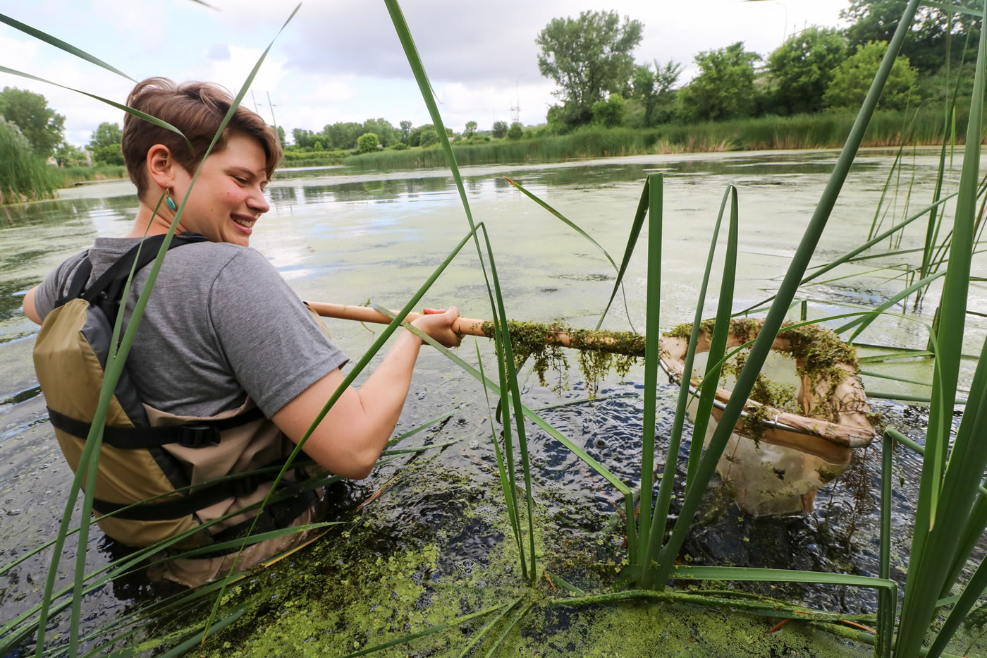
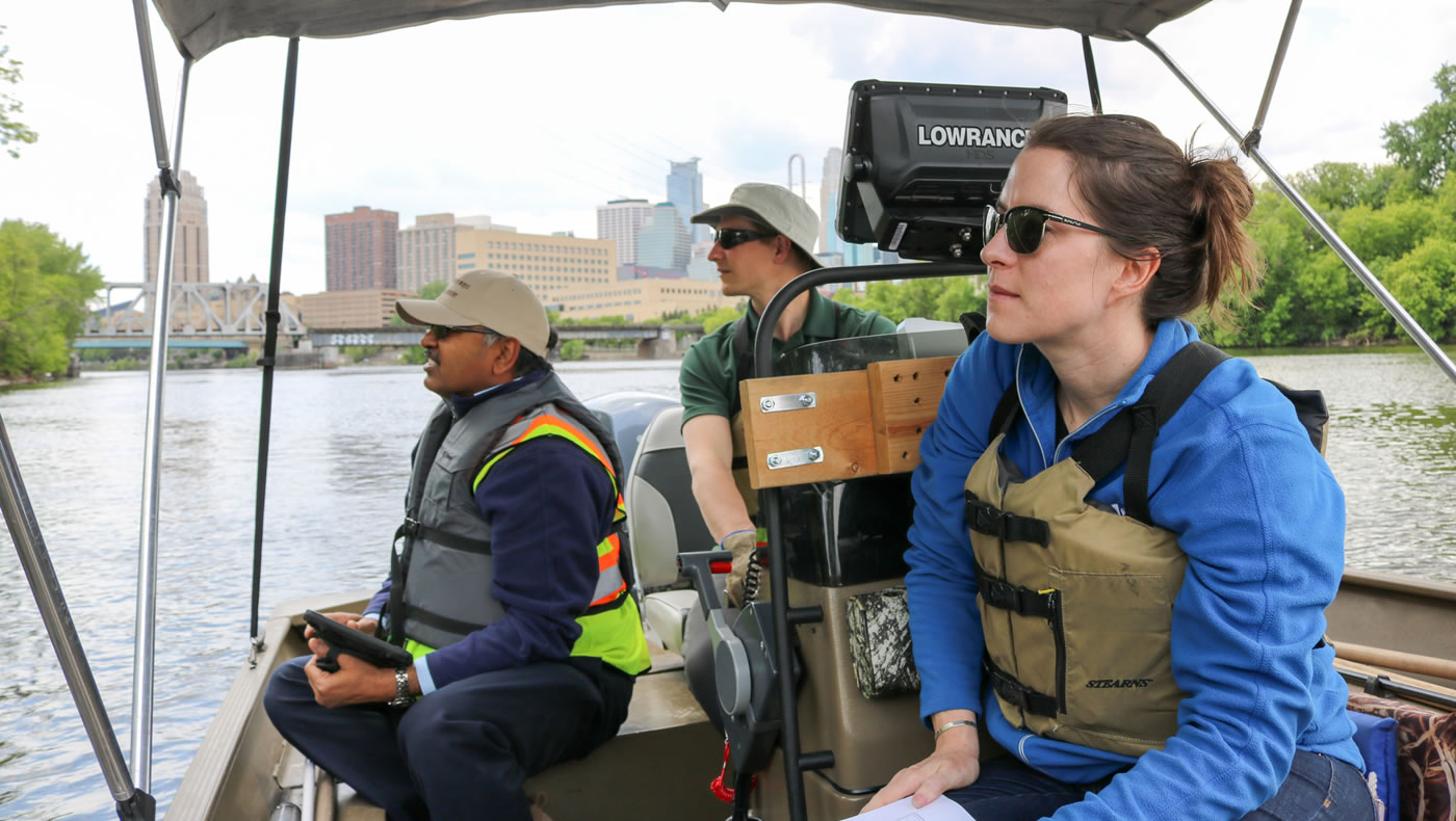
At the MWMO, we monitor a 14-mile stretch of the Mississippi River that runs through the urban core of the Twin Cities Metropolitan Area. We also monitor water quality in the local storm drain systems, and a small chain of wetlands called the Kasota Ponds. We collect samples and document the levels of 66 distinct “parameters of concern” — things like bacteria, heavy metals, nutrients and sediment — that affect water quality both here and downstream.
Our monitoring program began in 2005 with a single monitoring specialist. Today, we employ a team of full-time and seasonal staff with a varied arsenal of scientific tools and tactics. We’re implementing advanced technologies and software to track pollution levels over time, and using monitoring data to help develop comprehensive water quantity and quality models for our watershed.
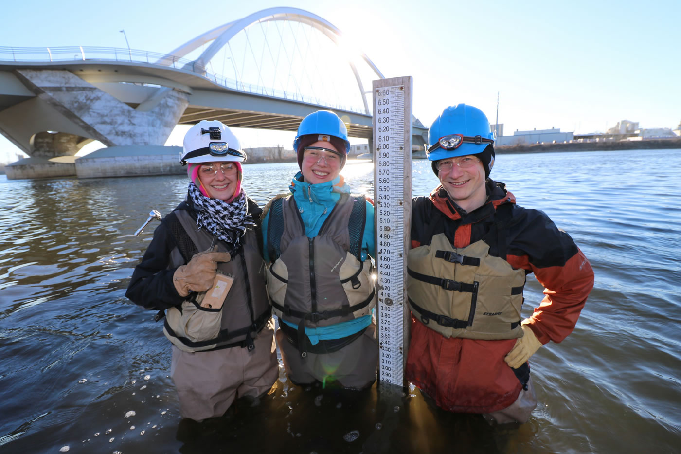
The MWMO monitoring team works year-round, rain or shine (or freezing cold), gathering data that helps us answer that big question about the health of the river — as well as more specific ones like whether the water is safe for fishing and swimming. The information they provide helps planners and policymakers identify new ways to protect and improve water quality and habitat.
Why We Care About Water Quality
The MWMO monitors for many types of pollutants, but the first (and arguably one of the most important) was fecal coliform bacteria — i.e., bacteria that originates in human and animal waste. Specifically, we monitor for Escherichia coliform bacteria (also known as E. coli), which is an indicator of fecal contamination within the waterbody.
E. coli is present in human and animal waste (both pets and wildlife). Like many other types of pollutants, it enters the river via stormwater runoff. Rain and melting snow wash it off the land and into the storm drains; from there, it travels untreated into the Mississippi River. (This is why you generally want to avoid swimming in the river after a rainstorm.)
By law, our section of the river must be safe for certain designated uses, including as a source of drinking water as well as for activities like fishing and swimming. Unfortunately, some parts of the river are listed as “impaired” for E. coli, meaning they do not meet state water quality standards (at least part of the time). When a waterbody is impaired, the law requires that it be monitored and that a TMDL plan be implemented to improve its water quality.
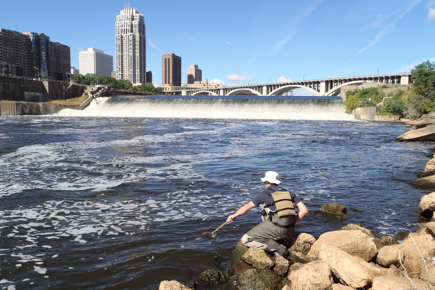
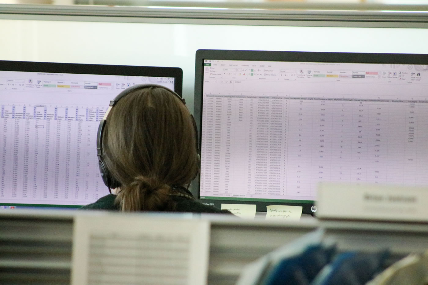
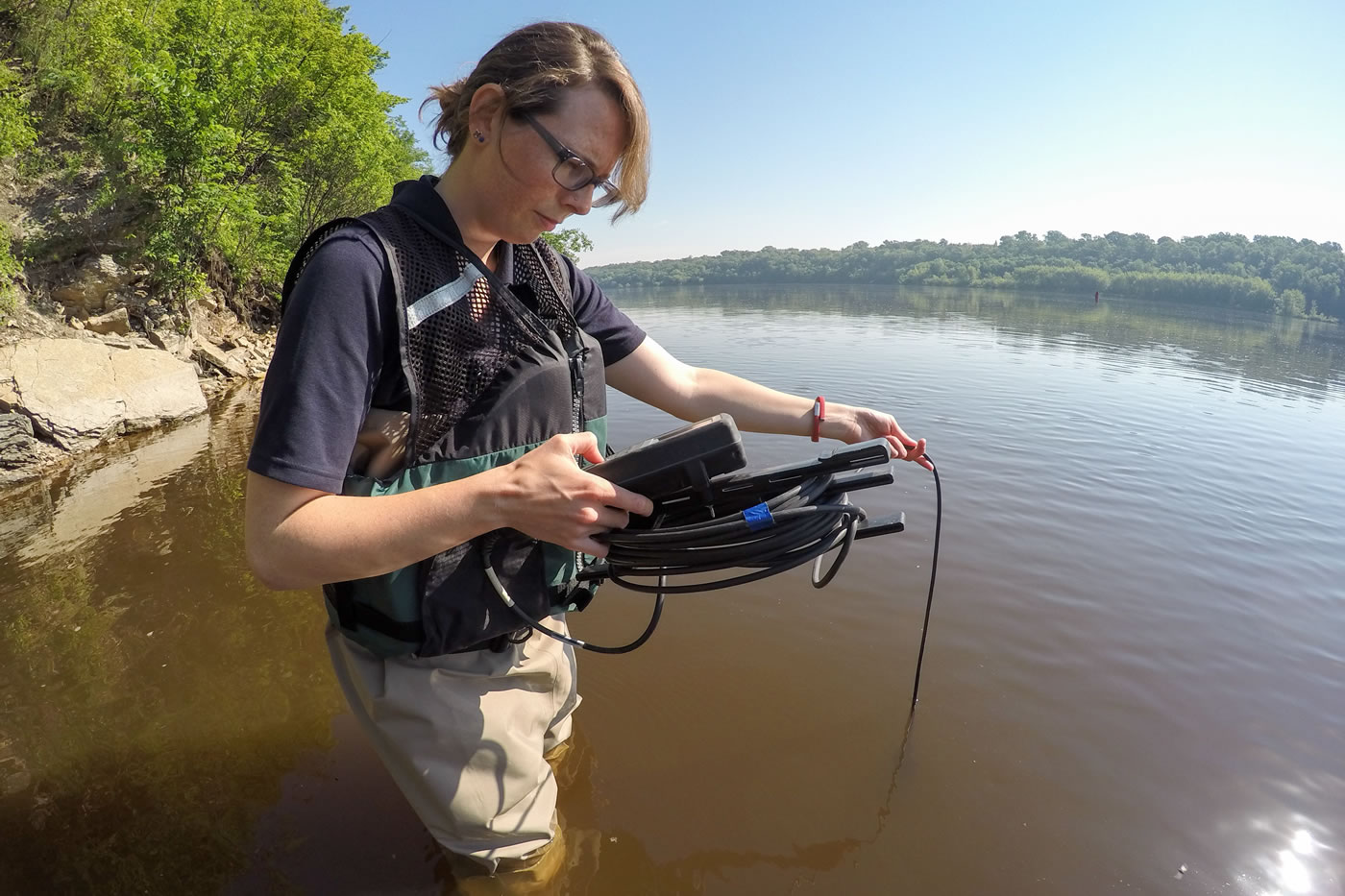
This is where monitoring comes in. At least twice per month from April through November, the MWMO’s monitoring team collects water samples at designated locations along the river to test for E. coli. We also sample for E. coli in our local storm drain systems. The samples are sent to a laboratory for testing, and the results are included in our annual monitoring report and submitted to a state water quality database. The information we collect helps us find ways to reduce E. coli pollution in the river, with the ultimate goal of restoring it to a condition that is swimmable, fishable and safe for all of its other designated uses.
Diving Deep for Data
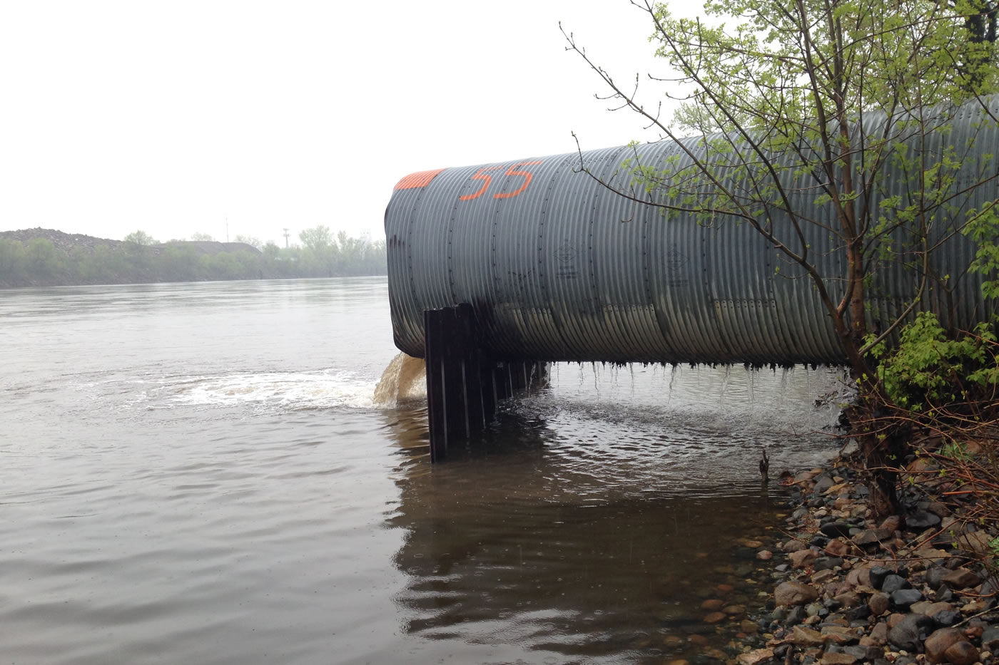
Tracking water quality in the river is important, but it doesn’t tell us the whole story. Since pollution flows downstream, it’s hard for us to know whether pollutants originate from within our watershed or from somewhere else. To help solve this puzzle, the MWMO has rigged up six of our major stormwater outfalls with monitoring equipment.
If you don’t know what a stormwater outfall is, it’s basically a gigantic pipe. Think of it as the end of a long funnel: beneath our city streets, vast networks of stormpipes carry stormwater runoff toward the river, until eventually it reaches an outfall. This makes outfalls ideal places to take a reading on what’s being washed off the land and into the river.
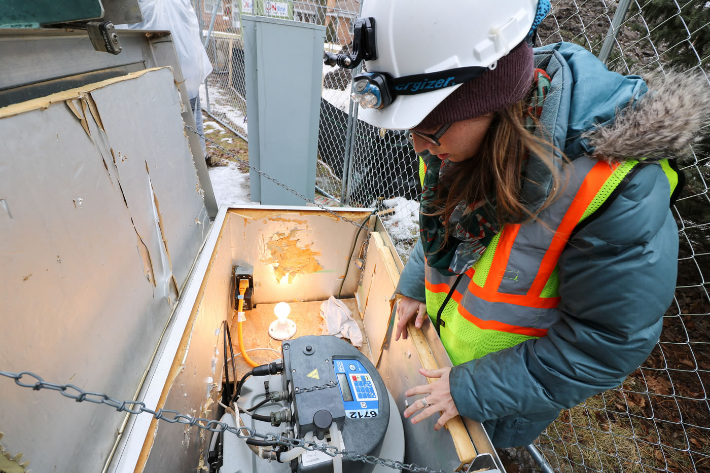
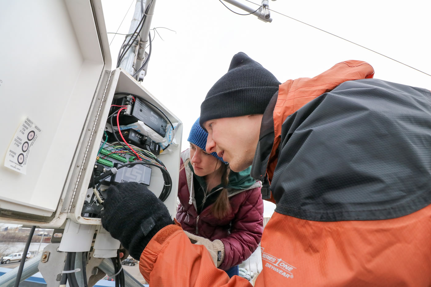
Our monitoring team has installed sensors that measure how much water is exiting the outfalls at any given time. When the amount reaches a certain level, it triggers an automatic water sampler that draws in water through a plastic tube. Each sampler holds up to 24 separate plastic containers, allowing for multiple samples to be taken and stored during storm events. The samplers are connected via a radio network that was designed and deployed by the MWMO and the University of Minnesota’s St. Anthony Falls Laboratory. The team uses this network to remotely monitor real-time information on rainfall, stormwater flow and stormwater sample collection.
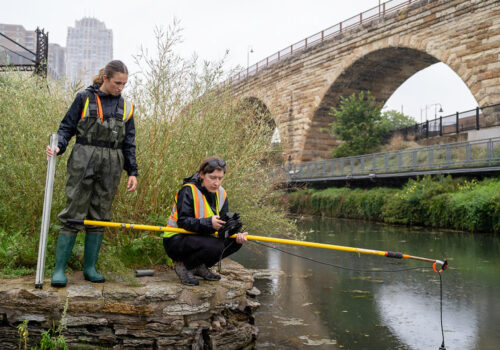
One advantage of the automatic sampling is that it allows for the creation of “composite” samples, in which multiple samples from the same rain event can be combined. This provides an averaged-out view of the quality of water coming out of a stormwater drainage system during the course of an entire storm event. The team also collects samples using more old-fashioned methods like wading into the river or via boat, but the automated sampling equipment is a big help in collecting reliable data from a wide geographic area.
Measuring Our Impact
Monitoring isn’t just about sampling water bodies and testing for pollutants. It’s about providing a total view of what’s happening in the watershed. That includes collecting information on precipitation (collected via a network of rain gauges), changes in land use and various other watershed characteristics.
Our monitoring efforts are done in close coordination with our member communities and partner organizations. For example, the MWMO provides annual funding for the City of Minneapolis to hire interns to enforce construction site erosion control permits. We also partner with City of Minneapolis staff to monitor stormwater outfalls for illicit discharges to the river, and help local authorities contain spills.
The team also conducts research such as documenting ecological changes in the river following the Upper St. Anthony Falls Lock closure. More recently, they have begun installing monitoring equipment at many of our project sites. This allows us to directly measure how much pollution our projects are keeping out of the river. For example, our St. Anthony Regional Stormwater Treatment and Research System will separately measure the water quality improvements provided by several different treatment technologies, allowing us to see which ones are most effective.
All of these efforts are designed to provide a scientific base of knowledge that can inform our work as well as the work of others. If you want to dig into the details, you can check out our annual monitoring report, which features summaries of each part of our monitoring program as well as the full monitoring data collected in the last year.

